
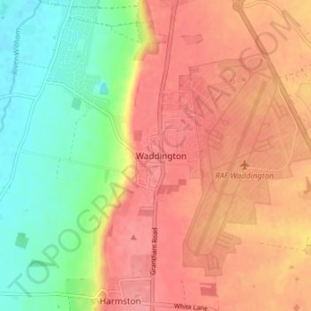
Waddington topographic map
Interactive map
Click on the map to display elevation.
About this map
Name: Waddington topographic map, elevation, terrain.
Average elevation: 41 m
Minimum elevation: 4 m
Maximum elevation: 91 m
During the Ice Age, most of the region surrounding Waddington was covered by ice sheets and this has influenced the topography and nature of the soils. Waddington's cliff-top position means it is 226 ft (69 m) above sea level, giving it commanding views over the River Witham valley.