
Lellens topographic map
Interactive map
Click on the map to display elevation.
About this map
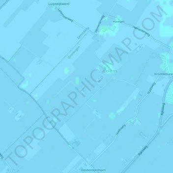
Name: Lellens topographic map, elevation, terrain.
Location: Lellens, Groningen, Niederlande (53.28743 6.68974 53.31005 6.72435)
Average elevation: 0 m
Minimum elevation: -3 m
Maximum elevation: 3 m
Other topographic maps
Click on a map to view its topography, its elevation and its terrain.
Garmerwolde
Niederlande > Groningen > Groningen
Garmerwolde, Groningen, Niederlande
Average elevation: -1 m