
Geologists Range topographic map
Interactive map
Click on the map to display elevation.
About this map
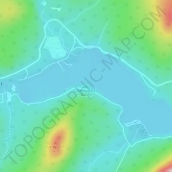
Name: Geologists Range topographic map, elevation, terrain.
Location: Geologists Range, Restigouche County, New Brunswick, Canada (47.42570 -66.90448 47.42580 -66.90438)
Average elevation: 293 m
Minimum elevation: 246 m
Maximum elevation: 479 m
Other topographic maps
Click on a map to view its topography, its elevation and its terrain.
Moncton
Canada > New Brunswick > Moncton
Moncton, Moncton Parish, Westmorland County, New Brunswick, Canada
Average elevation: 52 m
Fundy National Park
Fundy National Park, 114, Albert County, New Brunswick, E4H 1N5, Canada
Average elevation: 230 m
Kouchibouguac National Park
Kouchibouguac National Park, Carleton Parish, New Brunswick, Canada
Average elevation: 17 m
Indian Island
Canada > New Brunswick > Bathurst
Indian Island, Bathurst, Gloucester County, New Brunswick, E2A 1W7, Canada
Average elevation: 97 m