
Thimister topographic map
Interactive map
Click on the map to display elevation.
About this map
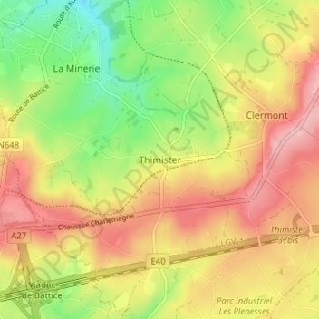
Name: Thimister topographic map, elevation, terrain.
Location: Thimister, Verviers, Liège, Wallonia, 4890, Belgium (50.63295 5.84501 50.67295 5.88501)
Average elevation: 275 m
Minimum elevation: 195 m
Maximum elevation: 348 m