
Gramsh topographic map
Interactive map
Click on the map to display elevation.
About this map
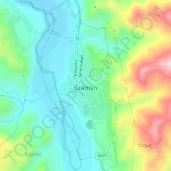
Name: Gramsh topographic map, elevation, terrain.
Average elevation: 265 m
Minimum elevation: 166 m
Maximum elevation: 479 m
Other topographic maps
Click on a map to view its topography, its elevation and its terrain.
Kukur
Albania > Central Albania > Elbasan County > Bashkia Gramsh
Kukur, Bashkia Gramsh, Elbasan County, Central Albania, 3305, Albania
Average elevation: 1,195 m