
Damaraland topographic map
Interactive map
Click on the map to display elevation.
About this map
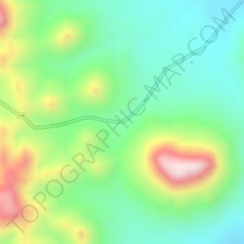
Name: Damaraland topographic map, elevation, terrain.
Location: Damaraland, C39, Vrede, Kunene Region, Namibia (-20.33432 14.10793 -20.33422 14.10803)
Average elevation: 831 m
Minimum elevation: 676 m
Maximum elevation: 1,087 m