
Mamora topographic map
Interactive map
Click on the map to display elevation.
About this map
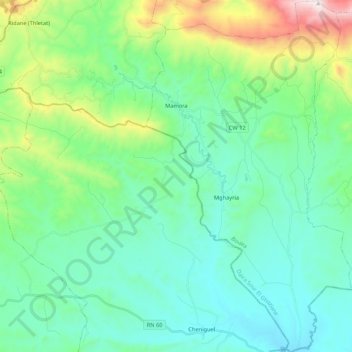
Name: Mamora topographic map, elevation, terrain.
Location: Mamora, Sour El Ghozlane District, Bouira, Algeria (35.91208 3.53283 36.08470 3.65765)
Average elevation: 928 m
Minimum elevation: 680 m
Maximum elevation: 1,806 m