
Dhanoda topographic map
Interactive map
Click on the map to display elevation.
About this map
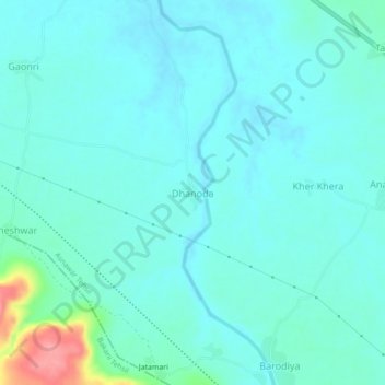
Name: Dhanoda topographic map, elevation, terrain.
Location: Dhanoda, Asnawar Tehsil, Jhalawar, Rajasthan, 326021, India (24.42928 76.31354 24.46928 76.35354)
Average elevation: 331 m
Minimum elevation: 316 m
Maximum elevation: 406 m