
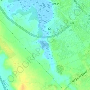
Çanakkale Göleti topographic map
Interactive map
Click on the map to display elevation.
About this map
Name: Çanakkale Göleti topographic map, elevation, terrain.
Location: Çanakkale Göleti, Famagusta, Gazimağusa District, Cyprus (35.12026 33.90938 35.12260 33.91295)
Average elevation: 10 m
Minimum elevation: -1 m
Maximum elevation: 25 m