
McClure topographic map
Interactive map
Click on the map to display elevation.
About this map
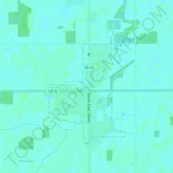
Name: McClure topographic map, elevation, terrain.
Location: McClure, Henry County, Ohio, USA (41.36323 -83.94973 41.38082 -83.93375)
Average elevation: 207 m
Minimum elevation: 204 m
Maximum elevation: 210 m