
Lovelace topographic map
Interactive map
Click on the map to display elevation.
About this map
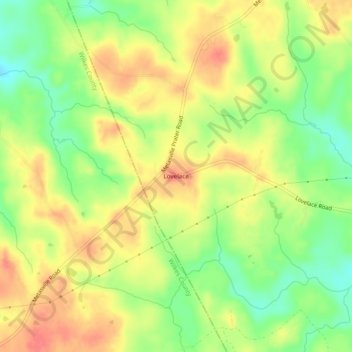
Name: Lovelace topographic map, elevation, terrain.
Location: Lovelace, Lincoln County, Georgia, United States (33.77124 -82.59097 33.81124 -82.55097)
Average elevation: 150 m
Minimum elevation: 117 m
Maximum elevation: 177 m