
Holly topographic map
Interactive map
Click on the map to display elevation.
About this map
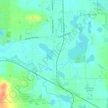
Name: Holly topographic map, elevation, terrain.
Location: Holly, Oakland County, Michigan, United States (42.78218 -83.64067 42.81883 -83.59898)
Average elevation: 285 m
Minimum elevation: 273 m
Maximum elevation: 324 m