
Tanim topographic map
Interactive map
Click on the map to display elevation.
About this map
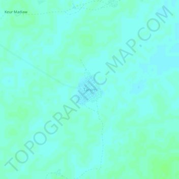
Name: Tanim topographic map, elevation, terrain.
Location: Tanim, Louga Region, Senegal (15.59733 -16.14467 15.63733 -16.10467)
Average elevation: 36 m
Minimum elevation: 33 m
Maximum elevation: 40 m