
Westry topographic map
Interactive map
Click on the map to display elevation.
About this map
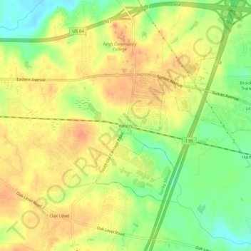
Name: Westry topographic map, elevation, terrain.
Location: Westry, Nash County, North Carolina, United States (35.94321 -77.91804 35.98321 -77.87804)
Average elevation: 55 m
Minimum elevation: 30 m
Maximum elevation: 72 m