
St. Lawrence topographic map
Interactive map
Click on the map to display elevation.
About this map
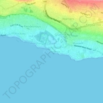
Name: St. Lawrence topographic map, elevation, terrain.
Location: St. Lawrence, Christ Church, BB15018, Barbados (13.04770 -59.59465 13.08770 -59.55465)
Average elevation: 17 m
Minimum elevation: 0 m
Maximum elevation: 97 m