
Kuranda topographic map
Interactive map
Click on the map to display elevation.
About this map
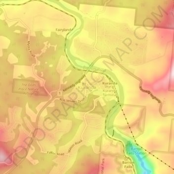
Name: Kuranda topographic map, elevation, terrain.
Location: Kuranda, Mareeba Shire, Queensland, 4881, Australia (-16.84050 145.61362 -16.80050 145.65362)
Average elevation: 359 m
Minimum elevation: 142 m
Maximum elevation: 490 m