
Chappa topographic map
Interactive map
Click on the map to display elevation.
About this map
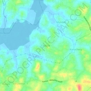
Name: Chappa topographic map, elevation, terrain.
Location: Chappa, Kannur, Kannur district, Kerala, 670005, India (11.89620 75.41219 11.93620 75.45219)
Average elevation: 14 m
Minimum elevation: -5 m
Maximum elevation: 57 m