
Pila topographic map
Interactive map
Click on the map to display elevation.
About this map
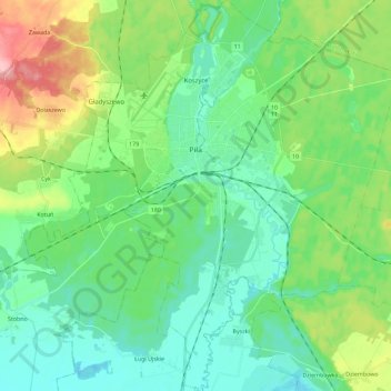
Name: Pila topographic map, elevation, terrain.
Location: Pila, Piła County, Greater Poland Voivodeship, 64-920, Poland (53.06634 16.66336 53.20345 16.85700)
Average elevation: 78 m
Minimum elevation: 42 m
Maximum elevation: 175 m
Other topographic maps
Click on a map to view its topography, its elevation and its terrain.