
Hilmend topographic map
Interactive map
Click on the map to display elevation.
About this map
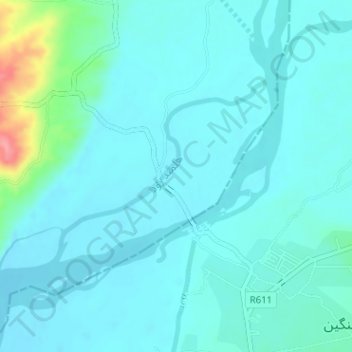
Name: Hilmend topographic map, elevation, terrain.
Location: Hilmend, موسی کلا, Helmand, Afghanistan (32.07352 64.81892 32.08945 64.84161)
Average elevation: 893 m
Minimum elevation: 878 m
Maximum elevation: 978 m