
Gronsveld topographic map
Interactive map
Click on the map to display elevation.
About this map
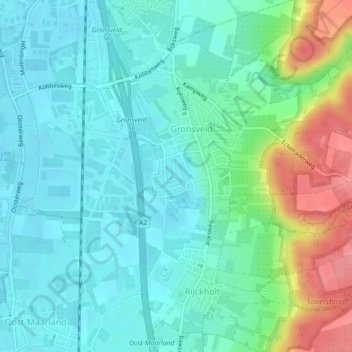
Name: Gronsveld topographic map, elevation, terrain.
Location: Gronsveld, Eijsden-Margraten, Limbourg, Pays-Bas (50.79313 5.71694 50.82132 5.74742)
Average elevation: 69 m
Minimum elevation: 47 m
Maximum elevation: 133 m