
Hunter–Fryingpan Wilderness Area topographic map
Interactive map
Click on the map to display elevation.
About this map
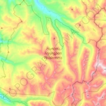
Name: Hunter–Fryingpan Wilderness Area topographic map, elevation, terrain.
Average elevation: 3,406 m
Minimum elevation: 2,574 m
Maximum elevation: 4,389 m
Other topographic maps
Click on a map to view its topography, its elevation and its terrain.