
Kalk topographic map
Interactive map
Click on the map to display elevation.
About this map
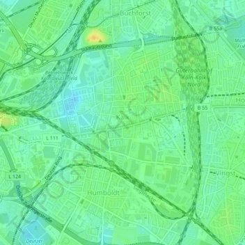
Name: Kalk topographic map, elevation, terrain.
Average elevation: 50 m
Minimum elevation: 40 m
Maximum elevation: 65 m
Other topographic maps
Click on a map to view its topography, its elevation and its terrain.
Deutz
Deutschland > Nordrhein-Westfalen > Köln
Deutz, Innenstadt, Köln, Nordrhein-Westfalen, 50679, Deutschland
Average elevation: 50 m
Altstadt-Süd
Deutschland > Nordrhein-Westfalen > Köln
Altstadt-Süd, Innenstadt, Köln, Regierungsbezirk Köln, Nordrhein-Westfalen, Deutschland
Average elevation: 52 m