
Nyamuragira topographic map
Interactive map
Click on the map to display elevation.
About this map
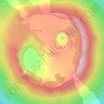
Name: Nyamuragira topographic map, elevation, terrain.
Average elevation: 2,914 m
Minimum elevation: 2,689 m
Maximum elevation: 3,041 m
Other topographic maps
Click on a map to view its topography, its elevation and its terrain.
Les Volcans
Democratische Republiek Congo > Nord-Kivu > Les Volcans
Les Volcans, Goma, Nord-Kivu, 000000, Democratische Republiek Congo
Average elevation: 1,489 m
Nyiragongo
Democratische Republiek Congo > Nord-Kivu
Nyiragongo, Nord-Kivu, Democratische Republiek Congo
Average elevation: 1,970 m