
Canelones topographic map
Interactive map
Click on the map to display elevation.
About this map
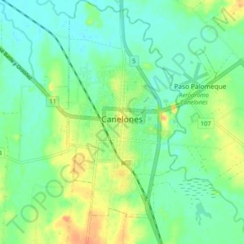
Name: Canelones topographic map, elevation, terrain.
Location: Canelones, 90000, Uruguay (-34.55348 -56.29895 -34.49642 -56.26369)
Average elevation: 22 m
Minimum elevation: 9 m
Maximum elevation: 43 m