
Kessel topographic map
Interactive map
Click on the map to display elevation.
About this map
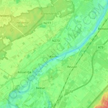
Name: Kessel topographic map, elevation, terrain.
Location: Kessel, Peel en Maas, Limbourg, Pays-Bas (51.26576 5.98668 51.32036 6.10933)
Average elevation: 28 m
Minimum elevation: 11 m
Maximum elevation: 38 m