
久屋町 topographic map
Interactive map
Click on the map to display elevation.
About this map
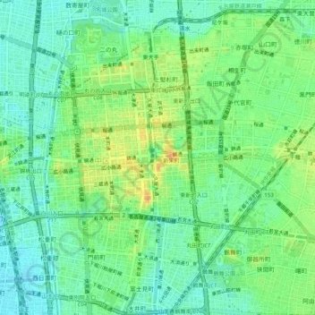
Name: 久屋町 topographic map, elevation, terrain.
Location: 久屋町, Nagoya, Préfecture d'Aichi, 460-008, Japon (35.14971 136.88954 35.18971 136.92954)
Average elevation: 15 m
Minimum elevation: 1 m
Maximum elevation: 38 m