
Gumia topographic map
Interactive map
Click on the map to display elevation.
About this map
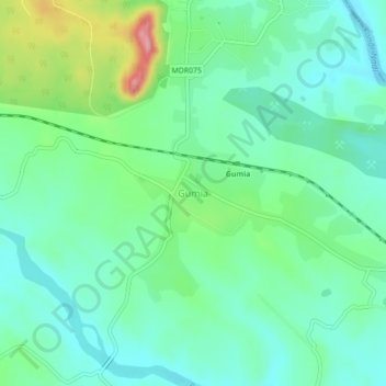
Name: Gumia topographic map, elevation, terrain.
Location: Gumia, Girīdīh, Giridih, Jharkhand, 829112, India (23.77948 85.80511 23.81948 85.84511)
Average elevation: 269 m
Minimum elevation: 229 m
Maximum elevation: 375 m