
Rétsági járás topographic map
Interactive map
Click on the map to display elevation.
About this map
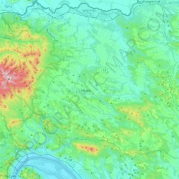
Name: Rétsági járás topographic map, elevation, terrain.
Location: Rétsági járás, Nógrád vármegye, Grande plaine et nord, Hongrie (47.81870 18.94095 48.04378 19.38101)
Average elevation: 242 m
Minimum elevation: 99 m
Maximum elevation: 938 m