
Guarda topographic map
Interactive map
Click on the map to display elevation.
About this map
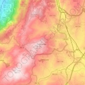
Name: Guarda topographic map, elevation, terrain.
Location: Guarda, Beira Interior Norte, Centro, Portugal (40.50448 -7.29265 40.57389 -7.19806)
Average elevation: 864 m
Minimum elevation: 464 m
Maximum elevation: 1,063 m
Other topographic maps
Click on a map to view its topography, its elevation and its terrain.