
Luceville topographic map
Interactive map
Click on the map to display elevation.
About this map
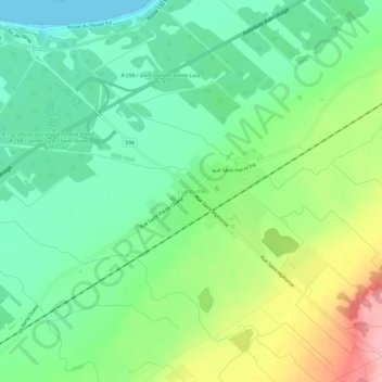
Name: Luceville topographic map, elevation, terrain.
Average elevation: 48 m
Minimum elevation: 0 m
Maximum elevation: 139 m
Other topographic maps
Click on a map to view its topography, its elevation and its terrain.
Sainte-Jeanne-d'Arc
Canada > Québec > La Mitis > Sainte-Jeanne-d'Arc
Sainte-Jeanne-d'Arc, La Mitis, Bas-Saint-Laurent, Québec, Canada
Average elevation: 254 m