
Valdenogher topographic map
Interactive map
Click on the map to display elevation.
About this map
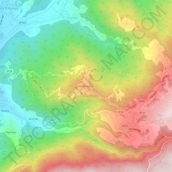
Name: Valdenogher topographic map, elevation, terrain.
Location: Valdenogher, Tambre, Belluno, Veneto, 32016, Italia (46.10294 12.36872 46.14294 12.40872)
Average elevation: 710 m
Minimum elevation: 402 m
Maximum elevation: 1,082 m
Other topographic maps
Click on a map to view its topography, its elevation and its terrain.