
Sayan topographic map
Interactive map
Click on the map to display elevation.
About this map
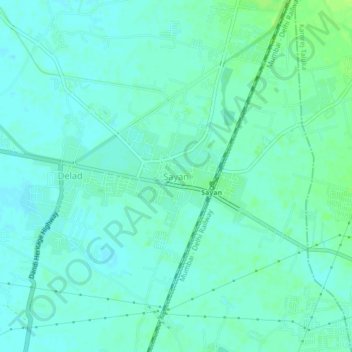
Name: Sayan topographic map, elevation, terrain.
Location: Sayan, Olpad Taluka, Surat, Guyarat, 394130, India (21.29824 72.86566 21.33824 72.90566)
Average elevation: 18 m
Minimum elevation: 14 m
Maximum elevation: 25 m