Geolocate

Yamare topographic map

Click on the map to display elevation.

About this map

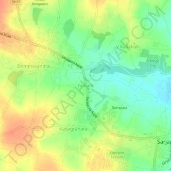
Name: Yamare topographic map, elevation, terrain.

Location: Yamare, Anekal, Bangalore Urban, Karnataka, 562125, India (12.85310 77.74597 12.89310 77.78597)

Average elevation: 889 m

Minimum elevation: 867 m

Maximum elevation: 911 m

Other topographic maps

Click on a map to view its topography, its elevation and its terrain.

Yamare

India > Karnataka > Anekal > Yamare

Average elevation: 890 m

Gear up for your next adventure:

👟Women's Trail Running Shoes - Agile footwear for fell running and technical trails
🔦Outdoor Torches - Reliable torches for night navigation
👕Technical Hiking Tees - Moisture-management for high-exertion climbs
Lightweight Solo Tents - Backpacking tents designed for wild camping in the UK highlands
🚶Walking Pedometers - Simple distance tracking for casual trail walkers

As an Amazon Associate, this site earns from qualifying purchases at no extra cost to you.