
Nahavand Town topographic map
Interactive map
Click on the map to display elevation.
About this map
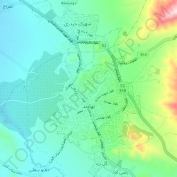
Name: Nahavand Town topographic map, elevation, terrain.
Average elevation: 1,688 m
Minimum elevation: 1,582 m
Maximum elevation: 2,071 m
Other topographic maps
Click on a map to view its topography, its elevation and its terrain.
Gol-e Zard
Iran > Hamadan Province > Nahavand County > Nahavand Town > Gol-e Zard
Gol-e Zard, Nahavand Town, Central District, Nahavand County, Hamadan Province, Iran
Average elevation: 1,672 m