
Thank you for supporting this site ❤️
Make a donation
Make a donation
Gear up for your next adventure:
As an Amazon Associate, this site earns from qualifying purchases at no extra cost to you.
Songxi topographic map
Click on the map to display elevation.
Thank you for supporting this site ❤️
Make a donation
Make a donation
Gear up for your next adventure:
As an Amazon Associate, this site earns from qualifying purchases at no extra cost to you.
About this map
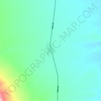
Name: Songxi topographic map, elevation, terrain.
Location: Songxi, Dongru, Rutog County, Ngari Prefecture, Tibet, China (34.40949 80.35807 34.44949 80.39807)
Average elevation: 5,215 m
Minimum elevation: 5,152 m
Maximum elevation: 5,468 m
Thank you for supporting this site ❤️
Make a donation
Make a donation
Gear up for your next adventure:
As an Amazon Associate, this site earns from qualifying purchases at no extra cost to you.