
Achahoish topographic map
Interactive map
Click on the map to display elevation.
About this map
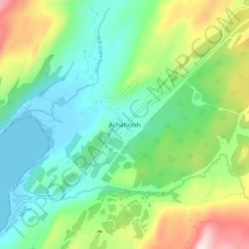
Name: Achahoish topographic map, elevation, terrain.
Location: Achahoish, Argyll and Bute, Scotland, PA31 8PD, United Kingdom (55.91700 -5.57089 55.95700 -5.53089)
Average elevation: 121 m
Minimum elevation: -1 m
Maximum elevation: 396 m