
Zapotlán de Juárez topographic map
Interactive map
Click on the map to display elevation.
About this map
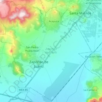
Name: Zapotlán de Juárez topographic map, elevation, terrain.
Location: Zapotlán de Juárez, Hidalgo, 42190, México (19.92428 -98.91918 20.05054 -98.78989)
Average elevation: 2,390 m
Minimum elevation: 2,316 m
Maximum elevation: 2,723 m