
Rheineck topographic map
Interactive map
Click on the map to display elevation.
About this map
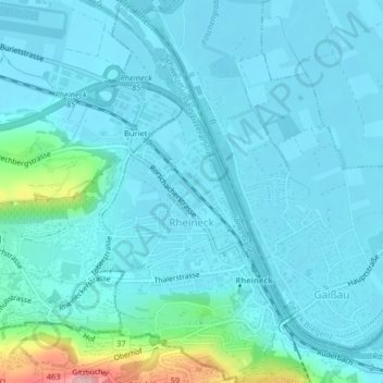
Name: Rheineck topographic map, elevation, terrain.
Location: Rheineck, Wahlkreis Rheintal, Sankt Gallen, 9424, Schweiz (47.45919 9.57392 47.48645 9.59407)
Average elevation: 417 m
Minimum elevation: 394 m
Maximum elevation: 578 m