
Kharlekh topographic map
Interactive map
Click on the map to display elevation.
About this map
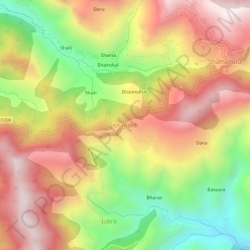
Name: Kharlekh topographic map, elevation, terrain.
Location: Kharlekh, Kapkot, Bageshwar, Uttarakhand, 263633, India (29.94325 80.00934 29.98325 80.04934)
Average elevation: 1,863 m
Minimum elevation: 1,302 m
Maximum elevation: 2,351 m