
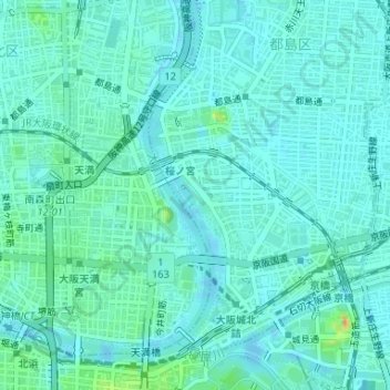
大阪ふれあいの水辺 topographic map
Interactive map
Click on the map to display elevation.
About this map
Name: 大阪ふれあいの水辺 topographic map, elevation, terrain.
Location: 大阪ふれあいの水辺, 中野町四丁目, 都島区, Osaka, Préfecture d'Osaka, Japon (34.70145 135.52093 34.70285 135.52196)
Average elevation: 9 m
Minimum elevation: -4 m
Maximum elevation: 51 m
Other topographic maps
Click on a map to view its topography, its elevation and its terrain.