
Maloja topographic map
Interactive map
Click on the map to display elevation.
About this map
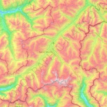
Name: Maloja topographic map, elevation, terrain.
Location: Maloja, Grisons, Switzerland (46.28599 9.45628 46.69625 10.10235)
Average elevation: 2,313 m
Minimum elevation: 890 m
Maximum elevation: 3,952 m
Other topographic maps
Click on a map to view its topography, its elevation and its terrain.
Albulapass
Switzerland > Grisons > Maloja > La Punt Chamues-ch
The Albula Pass is an important axis from central Graubünden to Engadin. It is traversed by a paved road from Thusis to La Punt, via Bergün. It is also traversed by the Albula Railway, although at a lower elevation through the Albula Tunnel (1,820 m), from Thusis to Bever, also via Bergün.
Average elevation: 2,560 m
Casaccia
Switzerland > Grisons > Maloja
Casaccia is a village located in the Val Bregaglia, in the Swiss canton of Graubünden. It lies at an altitude of 1,458 metres above sea level, at the southern foot of Piz Lunghin. The village belongs to the municipality of Bregaglia.
Average elevation: 1,929 m
Lägh dal Lunghin
Switzerland > Grisons > Maloja
Lägh dal Lunghin (German: Lunghinsee) is a lake at an elevation of 2484 m, below the peak of Piz Lunghin, in the Graubünden, Switzerland. It is considered the source of the Inn River.
Average elevation: 2,456 m