
فرحات حشاد topographic map
Interactive map
Click on the map to display elevation.
About this map
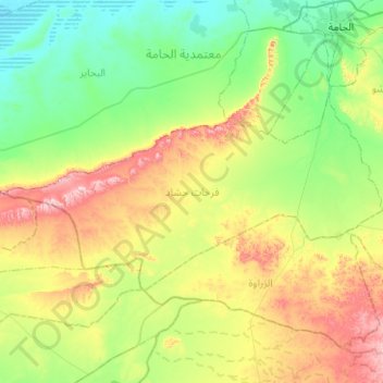
Name: فرحات حشاد topographic map, elevation, terrain.
Location: فرحات حشاد, معتمدية الحامة, Gabès, Tunisia (33.60191 9.35370 33.81662 9.85565)
Average elevation: 154 m
Minimum elevation: 21 m
Maximum elevation: 456 m