
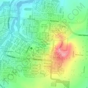
Hallorans Hill Conservation Park topographic map
Interactive map
Click on the map to display elevation.
About this map
Name: Hallorans Hill Conservation Park topographic map, elevation, terrain.
Average elevation: 789 m
Minimum elevation: 738 m
Maximum elevation: 869 m
Other topographic maps
Click on a map to view its topography, its elevation and its terrain.
Hallorans Hill Park
Australia > Queensland > Atherton
Hallorans Hill Park, Atherton, Tablelands Regional, Queensland, Australia
Average elevation: 794 m