
Nemaha County topographic map
Interactive map
Click on the map to display elevation.
About this map
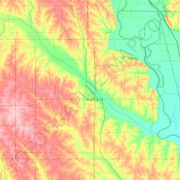
Name: Nemaha County topographic map, elevation, terrain.
Location: Nemaha County, Nebraska, United States (40.26148 -96.06711 40.56498 -95.55109)
Average elevation: 321 m
Minimum elevation: 267 m
Maximum elevation: 399 m