
Wolfpen topographic map
Interactive map
Click on the map to display elevation.
About this map
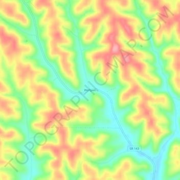
Name: Wolfpen topographic map, elevation, terrain.
Location: Wolfpen, Meigs County, Ohio, 45769, USA (39.05535 -82.09764 39.09535 -82.05764)
Average elevation: 238 m
Minimum elevation: 182 m
Maximum elevation: 294 m