
Heide topographic map
Interactive map
Click on the map to display elevation.
About this map
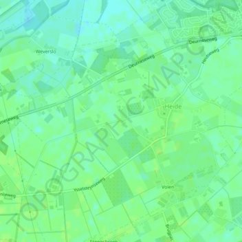
Name: Heide topographic map, elevation, terrain.
Location: Heide, Venray, Limburg, Niederlande, 5812AJ, Niederlande (51.50340 5.93892 51.50410 5.94287)
Average elevation: 29 m
Minimum elevation: 23 m
Maximum elevation: 33 m
Other topographic maps
Click on a map to view its topography, its elevation and its terrain.
Heide
Niederlande > Limburg > Venray
Heide, Venray, Limburg, Niederlande, 5812AS, Niederlande
Average elevation: 29 m