
Lakewood Forest topographic map
Interactive map
Click on the map to display elevation.
About this map
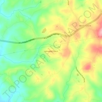
Name: Lakewood Forest topographic map, elevation, terrain.
Location: Lakewood Forest, Henry County, Virginia, USA (36.59847 -79.98754 36.63847 -79.94754)
Average elevation: 304 m
Minimum elevation: 242 m
Maximum elevation: 380 m