
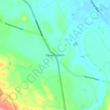
Desertmartin topographic map
Interactive map
Click on the map to display elevation.
About this map
Name: Desertmartin topographic map, elevation, terrain.
Average elevation: 63 m
Minimum elevation: 36 m
Maximum elevation: 161 m
County Londonderry trails, hiking, mountain biking, running and outdoor activities
Other topographic maps
Click on a map to view its topography, its elevation and its terrain.
Ballymagroarty
United Kingdom > Northern Ireland > County Londonderry > Derry/Londonderry
Average elevation: 73 m
Lough Foyle
United Kingdom > Northern Ireland > County Londonderry > Londonderry/Derry
Average elevation: 61 m