
Sheikh District topographic map
Interactive map
Click on the map to display elevation.
About this map
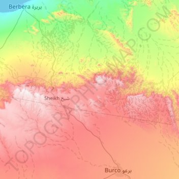
Name: Sheikh District topographic map, elevation, terrain.
Location: Sheikh District, Sahil, Somalia (9.78000 44.89675 10.17000 45.90647)
Average elevation: 874 m
Minimum elevation: 0 m
Maximum elevation: 1,996 m
Other topographic maps
Click on a map to view its topography, its elevation and its terrain.