
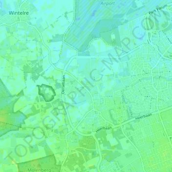
Hoogeind topographic map
Interactive map
Click on the map to display elevation.
About this map
Name: Hoogeind topographic map, elevation, terrain.
Average elevation: 23 m
Minimum elevation: 19 m
Maximum elevation: 28 m
Other topographic maps
Click on a map to view its topography, its elevation and its terrain.
Schoot
Nederland > Noord-Brabant > Veldhoven
Schoot, Veldhoven, Noord-Brabant, Nederland, 5504 NA, Nederland
Average elevation: 24 m
Heers
Nederland > Noord-Brabant > Veldhoven > Heers
Heers, Veldhoven, Noord-Brabant, Nederland, 5504, Nederland
Average elevation: 22 m